
One of the new Seven Natural Wonders of the World, the Subterranean River of Sabang (aka the Underground River) is a huge river system cutting a cave into hanging limestone cliffs overlooking the ocean. From Sabang, you have to take a boat along the ocean's edge, land at a beached back by limestone cliffs and board a tiny canoe to enter into the dark cave system.
 (After recently being named one of the Seven New Natural Wonders of the World, it seems this attraction is getting more popular. They also limit the number of permits per day, so many people trying to do day trips from Puerto Princesa had to wait weeks to find an open spot.)
 (Rough waters are common in the area, though luckily the ride from Sabang to the entrance to the Underground River is only about 25 minutes.)
 (The area has a prehistoric feel to it, with strong waves crashing against the limestone cliffs, covered in thick forest.)
(The scenic limestone cliffs and hidden beach make a memorable landing spot for entering the Subterranean River.)
 (Our group getting ready to enter into the dark cave. From Left: a hint of the guide's finger, a Filipino couple from Las Vegas, a French/Singaporean couple I met on the bus ride, me and a random German, and the German guy's friends in the front.)
(Green water flows out of the river, winding around a bend and draining into the ocean just about 100 yards away. This is the entrance into the cave, maybe just about five meters/fifteen feet high.)
 (Guided boats cruise the river for about 45 minutes, going 1.5 kilometers into the cave system before turning back. In the front of the boat is a car battery with a huge flashlight hooked to it to help point out the different formations in the cave. Our flashlight-holding passenger wasn't too quick with instructions, so it took a lot of instruction to get him pointing in the right direction.)
 (I think this was some sort of mushroom formation. The guide pointed out many different formations along the way, some obvious, some a little harder to imagine. We were also advised to keep our mouths closed when looking upwards (say mmmm instead of ooohhhh) "because there are two things that fall from the ceiling - holy water and holy shit." There are bats and swiftlets along the ceiling in some parts, but not close enough to really scare anyone.)
 (One of the formations known as the fruit market, where you can see various shapes of fruit hanging on the walls. I think this was part of the bananas. Who knows.)
(Heading back out of the cave. Though the river is over 8 kilometers long, the tour only goes in for 1.5 kilometers, since going much further would require diving gear.)
 (Another group descends into the darkness.)
 (Coming out of the Underground River, waiting for our catamaran to come back and take us back to Sabang. While we were waiting, the Filipino couple from Las Vegas tried to open a bag of potato chips, but a nearby monkey heard the crinkling plastic, emerged from the woods, quickly ran over, jumped on the woman's shoulders, bared its teeth and stole the bag, disappearing back into the forest.)
 (The beachfront at Sabang. I had lunch here before catching a minivan up the coast to El Nido. The van was supposed to be faster than the regular jeepneys, though our shocks gave out about an hour away from El Nido in the middle of a storm, on a dirt road, in the pitch black night, in an area with no cell phone coverage and no other cars. Nice combo. About 30 minutes later, we were able to flag down a passing car and have them call for another van to pick us up when they got to the next town.)
 (Some sort of potato, carrot and chicken stew.)
(The long-distance jeepney. With 40-50 people stuffed inside, people also climb on the roof and sit on top of the luggage/cargo. On the way up to Sabang, I took this, and it was about 3 hours. On the way back, I took a private van, and it was about 40 minutes...big difference...)




 (A colorful jeepney parked along the road above Banaue. A friend pointed out that the tires are pretty worn, but I think that's sometimes the least of your concerns riding on these things on the edge of some of these treacherous roads.)
 (The view from further up the road, looking back towards Banaue. Rice terraces were carved into the sides of many of the mountains in the area, built nearly two thousand years ago.)


 (For my second day, I made a deal with Solomon's friend to drop me off at the junction to Batad, an hour away. Winding along the dirt/mud road was a little scary with our tricycle, but in the end, it was fine.)
 (After hiking uphill for an hour from the road below, you can see the tiny dirt path carved into the mountainside on the right that leads back to Banaue...yes, that's the road.)


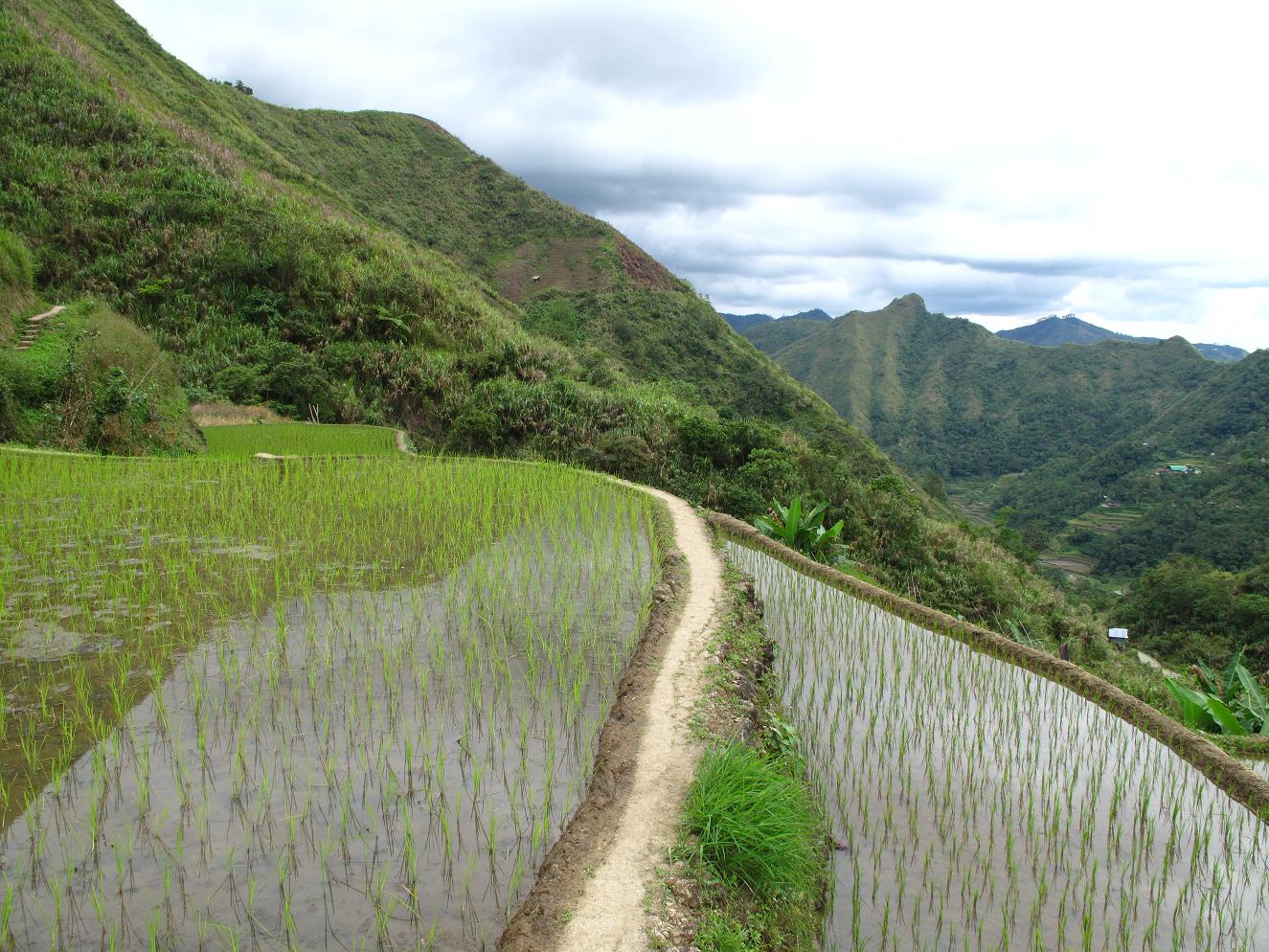
 (Small trails of dirt or stone line the edges of the rice terraces, allowing you to hike through the area without actually slogging through the terraces.)
 (Tappia Falls - about an hour's walk and approximately two million stairs away from Batad. Though steep and a little treacherous, the 30 meter/100 foot falls are definitely worth it. Check out the little people on the rocks in the river below for some perspective.)


